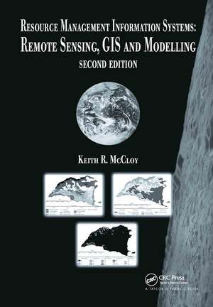
Resource Management Information Systems: Remote Sensing, GIS and Modelling, Second Edition
Autor Keith R. McCloyen Limba Engleză Hardback – 21 dec 2005
| Toate formatele și edițiile | Preț | Express |
|---|---|---|
| Paperback (1) | 498.61 lei 6-8 săpt. | |
| CRC Press – 23 sep 2019 | 498.61 lei 6-8 săpt. | |
| Hardback (1) | 833.77 lei 6-8 săpt. | |
| CRC Press – 21 dec 2005 | 833.77 lei 6-8 săpt. |
Preț: 833.77 lei
Preț vechi: 1110.90 lei
-25% Nou
Puncte Express: 1251
Preț estimativ în valută:
159.56€ • 165.57$ • 133.36£
159.56€ • 165.57$ • 133.36£
Carte tipărită la comandă
Livrare economică 15-29 martie
Preluare comenzi: 021 569.72.76
Specificații
ISBN-13: 9780415263405
ISBN-10: 0415263409
Pagini: 616
Ilustrații: 290 b/w images and 55 tables
Dimensiuni: 178 x 254 x 33 mm
Greutate: 1.22 kg
Ediția:2Revizuită
Editura: CRC Press
Colecția CRC Press
ISBN-10: 0415263409
Pagini: 616
Ilustrații: 290 b/w images and 55 tables
Dimensiuni: 178 x 254 x 33 mm
Greutate: 1.22 kg
Ediția:2Revizuită
Editura: CRC Press
Colecția CRC Press
Public țintă
Academic and Professional Practice & DevelopmentCuprins
Introduction. Physical principles of remote sensing. Visual interpretation and map reading. Image processing. Use of field data. Geographic information systems. The analysis and interpretation of vegetation. The management of spatial resources and decision support.
Descriere
This book provides readers with the skill set necessary to design, build, implement, and operate spatial resource management information systems for the management of physical resources. It promotes the use of these technologies in a spatial context, enabling readers to apply information systems toward the management of resources in agriculture,
