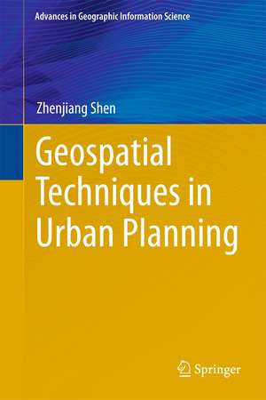
Geospatial Techniques in Urban Planning: Advances in Geographic Information Science
Autor Zhenjiang Shenen Limba Engleză Hardback – 7 ian 2012
| Toate formatele și edițiile | Preț | Express |
|---|---|---|
| Paperback (1) | 949.73 lei 43-57 zile | |
| Springer Berlin, Heidelberg – 23 aug 2016 | 949.73 lei 43-57 zile | |
| Hardback (1) | 954.31 lei 43-57 zile | |
| Springer Berlin, Heidelberg – 7 ian 2012 | 954.31 lei 43-57 zile |
Din seria Advances in Geographic Information Science
- 18%
 Preț: 1110.72 lei
 - 24%
 Preț: 669.64 lei
 - 24%
 Preț: 606.73 lei
 - 15%
 Preț: 637.46 lei
 - 18%
 Preț: 899.21 lei
 - 18%
 Preț: 1388.68 lei
 - 18%
 Preț: 948.92 lei
 - 15%
 Preț: 635.15 lei
 - 15%
 Preț: 635.96 lei
 - 18%
 Preț: 944.67 lei
 - 15%
 Preț: 641.71 lei
 - 15%
 Preț: 646.11 lei
 - 18%
 Preț: 1118.75 lei
 - 15%
 Preț: 648.56 lei
 - 18%
 Preț: 1230.84 lei
 - 18%
 Preț: 948.29 lei
 - 18%
 Preț: 1123.19 lei
 - 18%
 Preț: 948.47 lei
 - 18%
 Preț: 956.69 lei
 - 18%
 Preț: 941.82 lei
 - 15%
 Preț: 635.80 lei
 - 18%
 Preț: 761.72 lei
 - 18%
 Preț: 894.03 lei
Preț: 954.31 lei
Preț vechi: 1163.80 lei
-18% Nou
Puncte Express: 1431
Preț estimativ în valută:
182.61€ • 191.14$ • 151.99£
182.61€ • 191.14$ • 151.99£
Carte tipărită la comandă
Livrare economică 31 martie-14 aprilie
Preluare comenzi: 021 569.72.76
Specificații
ISBN-13: 9783642135583
ISBN-10: 3642135587
Pagini: 360
Ilustrații: XIII, 393 p.
Dimensiuni: 155 x 235 x 18 mm
Greutate: 0.7 kg
Ediția:2012
Editura: Springer Berlin, Heidelberg
Colecția Springer
Seria Advances in Geographic Information Science
Locul publicării:Berlin, Heidelberg, Germany
ISBN-10: 3642135587
Pagini: 360
Ilustrații: XIII, 393 p.
Dimensiuni: 155 x 235 x 18 mm
Greutate: 0.7 kg
Ediția:2012
Editura: Springer Berlin, Heidelberg
Colecția Springer
Seria Advances in Geographic Information Science
Locul publicării:Berlin, Heidelberg, Germany
Public țintă
Professional/practitionerCuprins
Part 1: Geosimulation and land use plan.- Part 2: Geo Visualization and urban design.- Part 3: Geography information system and planning support.
Recenzii
From the reviews:
“This book by Zhenjiang Shen provides a practical touch to the series by dealing with the application of geotechnology techniques in urban planning processes. … this book will be especially appreciated by readers who are looking for applications of geotechnology in urban planning.” (Lorena Cadavid, Journal of Artificial Societies and Social Simulation, 2012)
“This book by Zhenjiang Shen provides a practical touch to the series by dealing with the application of geotechnology techniques in urban planning processes. … this book will be especially appreciated by readers who are looking for applications of geotechnology in urban planning.” (Lorena Cadavid, Journal of Artificial Societies and Social Simulation, 2012)
Textul de pe ultima copertă
This volume presents cases studies of applications of Geotechnology such as Geography Information Systems, virtual reality and cellular automaton and multi-agent systems in the field of urban planning and design. These are joint research presentations with students and colleagues from Asian universities in Japan and China. All these case studies refer to their application in Japanese or Chinese cities, which are on-field examples reflecting the enormous spread of geo-computation technology. Nevertheless, the concepts have wide applicability to other contexts. The studies can be classified into three types of Geotechnological applications at different levels in urban spaces, which are relevant to different kinds of urban planning and development projects. The book is comprised of three parts: Part 1: Geosimulation and land use plan Part 2: Geo Visualization and urban design Part 3: Geography information system and planning support.
Caracteristici
First book of this kind Unique study for those new to urban planning Provides a comprehensive overview Includes supplementary material: sn.pub/extras
